How the year works
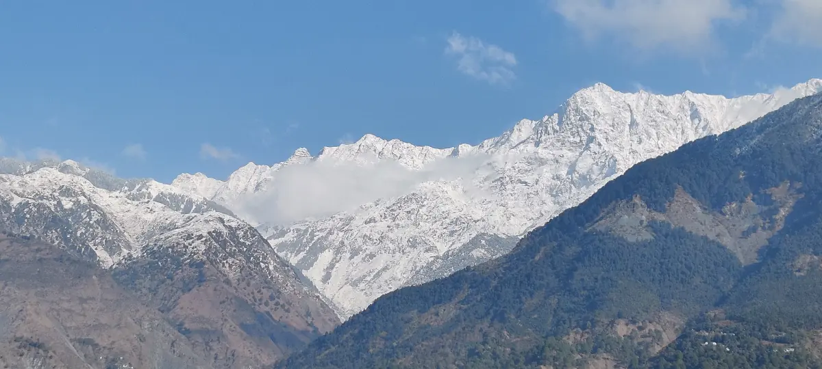
McLeod Ganj, also written McLeodganj, is the upper part of Dharamshala. The numbers on this page come from the India Meteorological Department station at Dharamshala, averaged over 1991 to 2020, and were not measured separately for McLeod Ganj. They are climate normals, not a forecast for your dates.
McLeod Ganj sits higher than the station, and Triund and Indrahar sit much higher, so conditions there can differ from the table. Check a current forecast before any walk, and decide about trails on the morning itself.
McLeod Ganj weather by month
Dharamshala station normals, 1991 to 2020. Highs and lows are mean daily values, not records.
| Month | Mean high (°C) | Mean low (°C) | Rain (mm) |
|---|---|---|---|
| January | 16.0 | 5.9 | 83.6 |
| February | 17.8 | 7.3 | 128.3 |
| March | 22.5 | 10.7 | 111.3 |
| April | 26.9 | 14.8 | 65.7 |
| May | 30.8 | 19.0 | 72.4 |
| June | 30.9 | 20.5 | 279.0 |
| July | 27.5 | 19.7 | 859.0 |
| August | 26.6 | 19.2 | 942.3 |
| September | 26.8 | 17.8 | 377.7 |
| October | 25.6 | 14.2 | 52.6 |
| November | 22.0 | 10.2 | 18.8 |
| December | 18.4 | 7.1 | 36.6 |
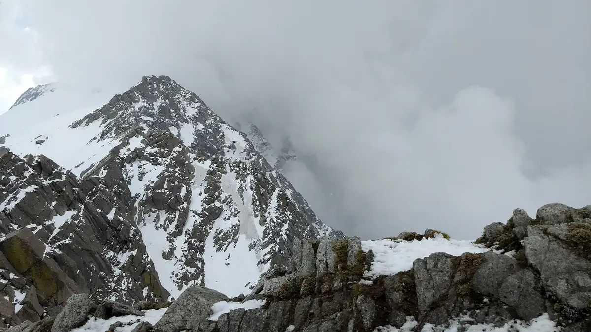
The table has no snow data, and the station minimums do not tell you snow depth. Do not expect a guaranteed snow cover in town in any month.
Treks and day trips by season
Temple visits, treks and trips in the Kangra Valley, with live prices and availability.
Best time to visit McLeod Ganj
A reading of the table, not an official ranking. It depends on what you plan to do.
October and November
With December, the driest stretch of the year: 52.6 mm of rain in October and 18.8 mm in November. Highs are 25.6 and 22.0 °C, lows 14.2 and 10.2 °C. This suits town days, temples and valley trips. It does not replace a trek check, because permits, snow and weather rules apply separately.
December to February
Mean highs of 16.0 to 18.4 °C and lows of 5.9 to 7.3 °C at the station. February has 128.3 mm of rain, more than any other month before June. Kareri Lake is described as frozen from December to March or April.
March to May
Warming up, with highs from 22.5 to 30.8 °C. March still has 111.3 mm of rain, April 65.7 mm and May 72.4 mm. The Indrahar Pass season is given as April to October by one source and May to October by another.
June to September
The monsoon. July has 859.0 mm and August 942.3 mm of mean rain, and September still 377.7 mm. The table gives no start or end dates and no count of rain days.
The monsoon: landslides, roads and slippery rock
Heavy rain brings landslides, floods and rockfall in Himachal Pradesh, and the UK foreign office lists these hazards for trekkers. Reports in the 2026 monsoon described blocked roads across the state. Allow spare days if you travel in July to September, and ask your driver or host about the road before you set out.
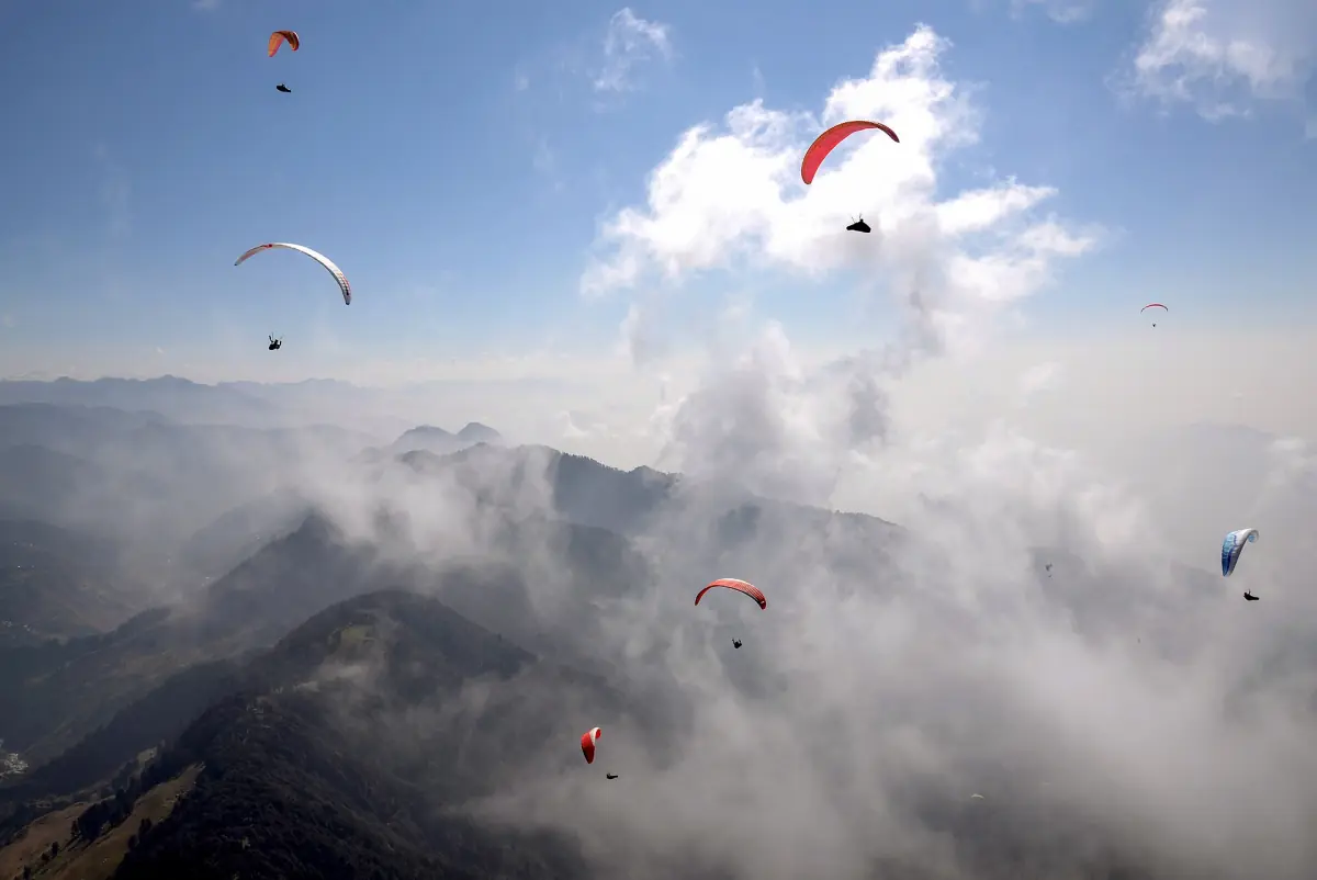
The Bhagsu waterfall has its strongest flow from July to September, and the district page warns of slippery rock after rain. A strong flow is not a reason to go in the monsoon. Bir Billing paragliding was banned from 15 July to 15 September 2026, with a restart only when conditions allow.
Weather and trekking: what to check
Weather is only one of several conditions.
Permits and bans
A January 2026 order, as reported, required police permission for Triund and Kareri and banned treks above 3,000 m. Permits lapse when the weather service issues a warning. Whether it applies on your dates is open, so ask before you plan.
Triund trek guide →Snow and the high passes
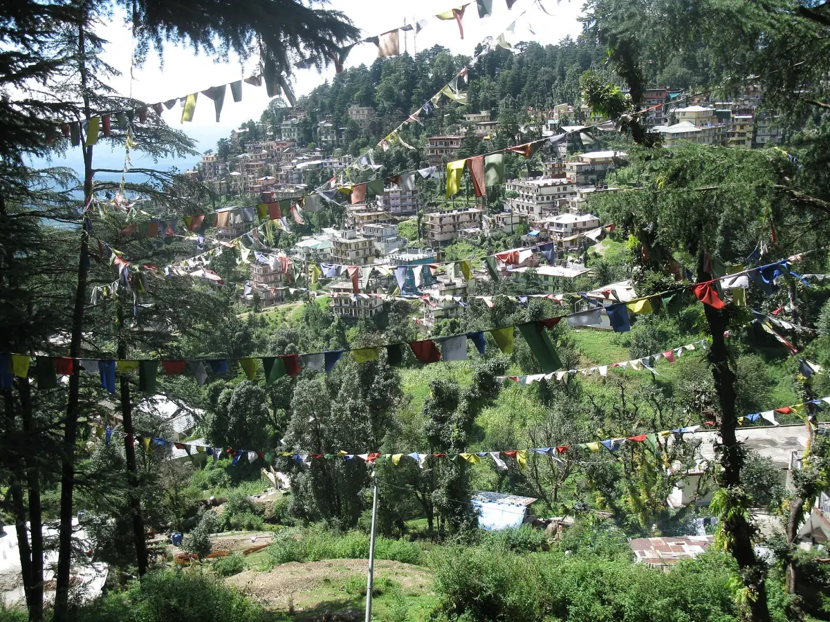
Never head for a high pass in snow or without a weather check. The Indrahar Pass is at 4,342 m, on the Kangra and Chamba border, and it is a separate, serious trek.
Kareri Lake and Indrahar →Insurance and groups
The UK foreign office advises trekking in a group with a reputable local guide, on established routes, with insurance that covers heights above 2,400 m and mountain rescue.
McLeod Ganj weather: frequently asked questions
What is the best time to visit McLeod Ganj?
October and November are dry in the Dharamshala normals, with 52.6 mm and 18.8 mm of rain, and suit town and temple days. Treks need their own checks. The wettest months are July and August.
When is the monsoon in McLeod Ganj?
The normals show the heaviest rain in July and August, with June and September also wet. About 81 percent of the yearly rain falls from June to September. The table gives no fixed start or end date.
Does it snow in McLeod Ganj?
The data on this page has no snow figures, and snow in town is not guaranteed in any month. Higher ground is colder. Kareri Lake is described as frozen from December to March or April.
How cold is it in winter?
At the Dharamshala station, January has a mean high of 16.0 °C and a mean low of 5.9 °C. McLeod Ganj lies higher, so pack for colder nights than the table shows.
Is this the weather for McLeod Ganj or Dharamshala?
It is the Dharamshala station, the nearest long record. McLeod Ganj, Triund and Indrahar sit higher and can differ.