
Kareri Lake at a glance
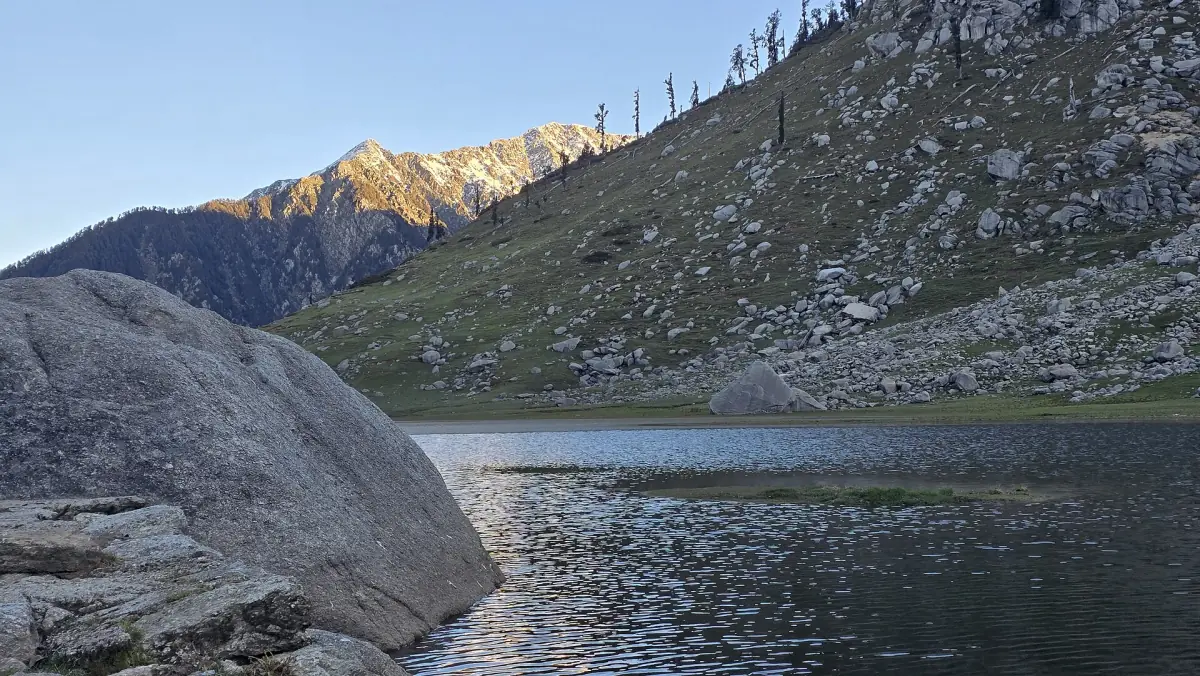
Kareri Lake is a freshwater lake in the Dhauladhar range above the Kangra valley. The district tourism page puts it at 2,934 m and describes a Shiva and Shakti temple at the shore. It is a longer and quieter outing than the Triund ridge. You reach the trailhead by road and then walk.
Most figures here come from that district page, last updated in August 2024. Rules for treks in Kangra changed in 2026, so read the permission section before you plan.
Kareri Lake route from McLeod Ganj
Road first, then trail.
By taxi to Kareri village
The district page says to take a taxi from Dharamshala to the village of Kareri. Agree the price and the pickup point with the driver before you set off. The taxi takes you to the village, not to the lake.
On foot to the lake
From the village the walk to the lake is about 14 km, according to the same page. That figure is for the climb. It does not give a round-trip distance or a time, so plan a full day with the descent, or an overnight stay if the rules allow one.
At the lake
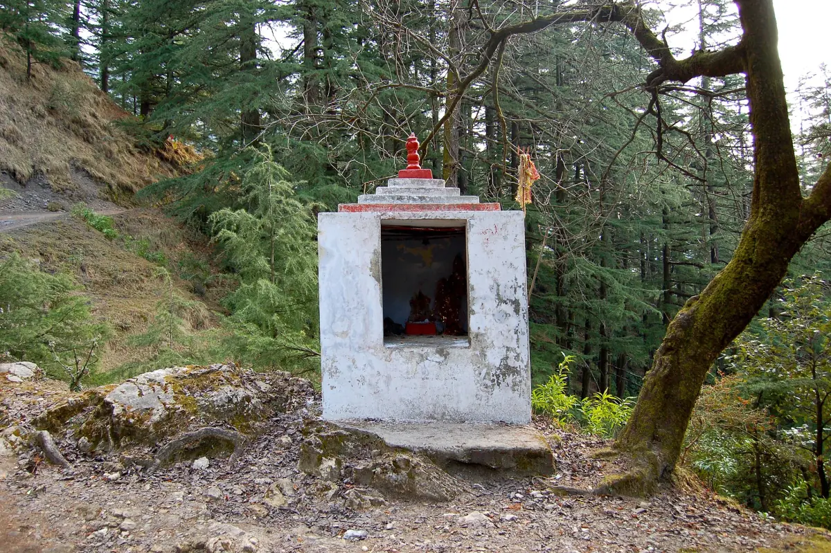
The temple at the shore is dedicated to Shiva and Shakti. Treat it as a place of worship and follow local custom.
Treks and day trips near McLeod Ganj
Guided treks, hikes and trips in the Dharamshala area, with live prices and availability.
Kareri permission and rules in 2026
Kareri is named in a press report of 7 January 2026 about an order of 6 January. The report mentions police permission for Triund and Kareri and a ban on trekking above 3,000 m on routes in Kangra. It adds that permissions lapse when the weather service issues a warning.
Whether the order applies on your date is not settled, and neither is the way to apply. Do not assume the trail is open and do not assume it is closed. Ask your accommodation or a licensed local guide for the current position before you hire a taxi.
Fees and camping rules for Kareri should be asked about locally. A price on a booking page does not show what the trail office charges. The Indrahar Pass, by contrast, lies above the 3,000 m line named in the order.
Season, snow and ice
What the cold months mean for this lake.
The freeze
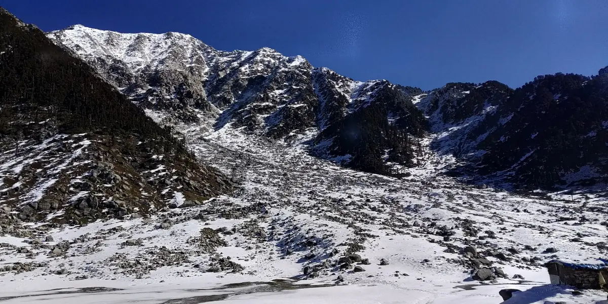
The district page says the lake is often frozen from December to March or April. A frozen lake is not a sign that the trail is open, and ice at this height may not carry weight. Do not walk on it.
Rain and the monsoon
At the Dharamshala weather station about 81 percent of the yearly rain falls from June to September, with July and August the wettest. The averages are for the town, not for the mountain. See the weather page. Landslides and flooded streams are listed among the hazards for treks in the region.
Snow depth
No snow depth can be read from the town's climate figures. Ask a local guide what the upper trail looks like on the week you go, and turn around if the weather changes.
Indrahar Pass: a separate trek
Indrahar Pass is not part of the Kareri trek. The district page puts it at 4,342 m on the border of Kangra and Chamba. Its route runs from Dharamkot through Triund, Laka and the Lahesh Cave to the pass. That route shares the first part with the Triund trek.
The sources give two seasons. The district page says May to October, and Himachal Tourism says April to October. Both are general descriptions of when the pass can be walked. They are not clearance for a given week, and the pass lies above the 3,000 m limit in the January order. Go only with a permit if one is needed, with a guide, and never when snow has fallen or is forecast.
Kareri, Triund and Indrahar compared
Heights and starts from the district tourism page, last updated in 2024.
| Trek | Highest point | Starts at | Rule named in 2026 reports |
|---|---|---|---|
| Triund | 2,875 to 2,975 m (the page gives both) | Dharamkot, Bhagsunag, Dal Lake or Rawa | Police permission; INR 500 waste deposit |
| Kareri Lake | 2,934 m | Kareri village, after a taxi from Dharamshala | Police permission |
| Indrahar Pass | 4,342 m | Dharamkot, via Triund | Trekking above 3,000 m banned in the January order |
The January order is reported by the press and may have changed since. Treat the last column as a reason to ask, not as a final answer.
Safety on high trails
From the UK government's travel guidance for India, updated in October 2026.
Group and guide
The guidance recommends trekking in a group, using reputable local guides, keeping to established routes and checking whether a permit is needed. Leave your route and return time with your accommodation.
Hazards
It names altitude sickness, sudden weather changes, avalanches and snowdrifts, landslides, floods and rockfall.
Insurance and devices
It advises insurance that covers altitudes above 2,400 m and mountain and helicopter rescue. A satellite phone or GPS device needs prior Indian permission.
The upper range
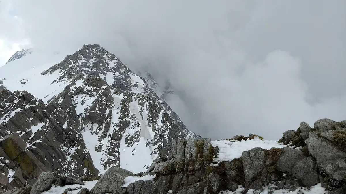
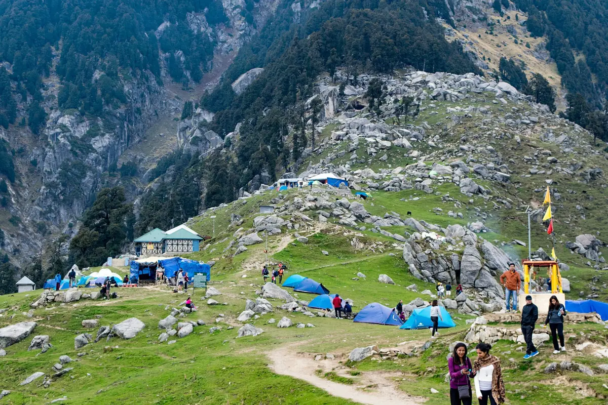
Snow can lie on the ridge, as in the picture below. A high trail is not a stroll and not a day to improvise.

Kareri Lake trek: frequently asked questions
How far is Kareri Lake from McLeod Ganj?
You take a taxi from Dharamshala to Kareri village, then walk about 14 km to the lake, according to the district page. That page does not give a round-trip distance or a walking time.
How high is Kareri Lake?
The district page gives 2,934 m.
Do I need a permit for Kareri?
A report on an order of 6 January 2026 names police permission for Triund and Kareri. Whether it still applies and how to apply is not settled. Ask your accommodation or a licensed guide first.
Is Kareri Lake frozen in winter?
It is often frozen from December to March or April, per the district page. A frozen lake does not mean the trail is open, and you should not walk on the ice.
Is Indrahar Pass the same as Kareri?
No. Indrahar Pass is a separate trek to 4,342 m on the Kangra and Chamba border, reached from Dharamkot via Triund. It lies above the 3,000 m limit in the January order.
When is the Indrahar season?
The district page says May to October and Himachal Tourism says April to October. These are general seasons, not clearance. Never go to the pass in or after snow.