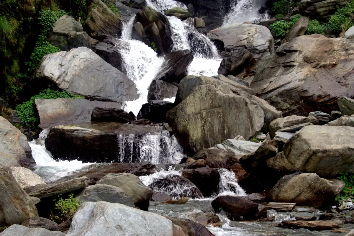
Bhagsu Waterfall and temple at a glance
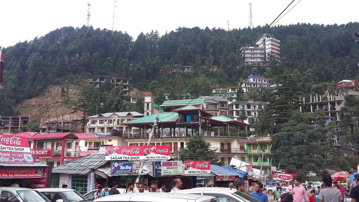
Bhagsu is a hillside area outside the McLeod Ganj bazaar, near the Bhagsunag Temple. Behind the temple a short trail leads to the Bhagsu Waterfall. People often treat the temple and the fall as one outing, but they are two different places with different rules of behavior. McLeod Ganj is also written McLeodganj, and the wider town is Dharamshala, in the Kangra district of Himachal Pradesh.
The distances and the description of the fall come from the Kangra district tourism page, text as of March 2026. The page has no publication date, so use the numbers as a guide and not as measured distances.
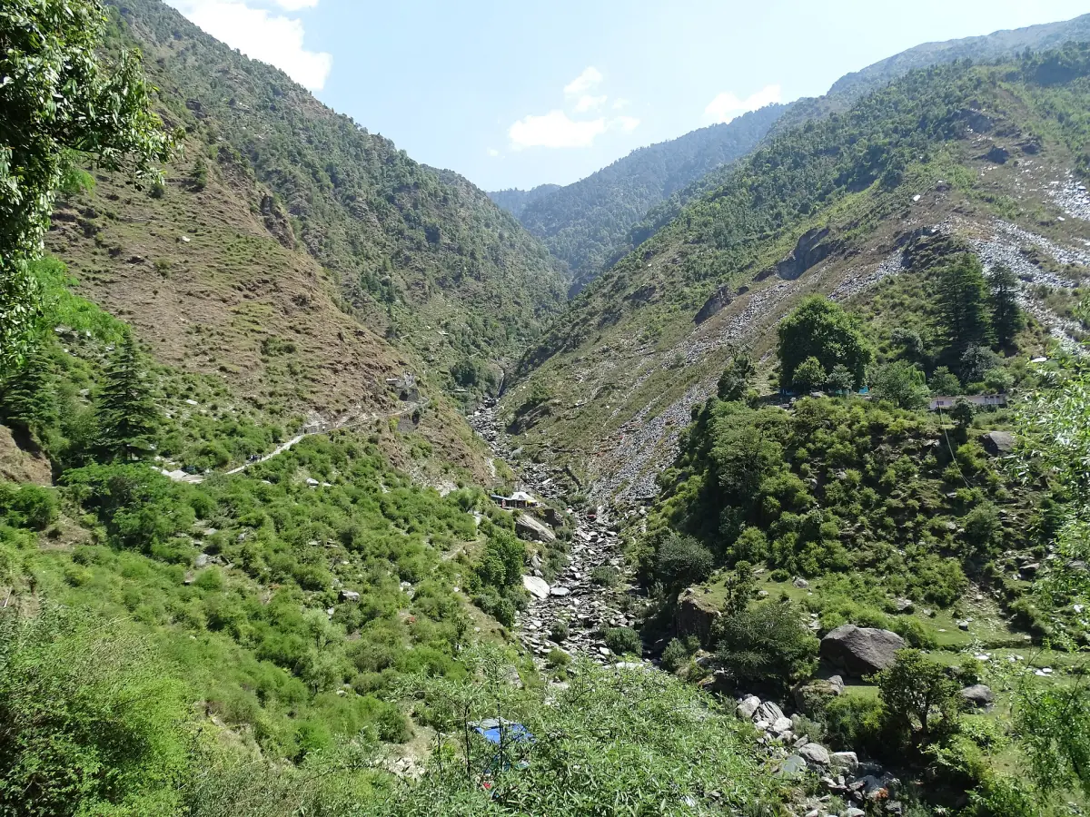
How to get to Bhagsu Waterfall
Two stages: from the bazaar to the temple, then the trail.
Bazaar to temple
The district page gives 2–3 km from the McLeod Ganj bazaar to the temple area. Allow time for the climb and the return, and leave in daylight.
Temple to waterfall
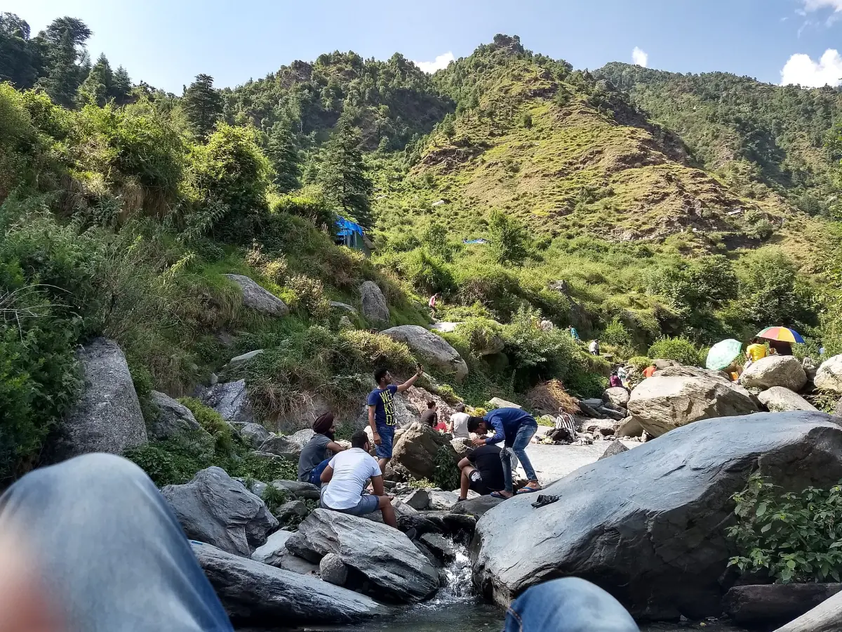
From the temple it is another 500–1,000 m, about 15–30 minutes one way. The page does not give an exact trail length, so treat that as a range. Wear shoes with a good grip. The path and the rocks near the fall get slippery after rain.
Trail condition
The description is from March, not a day-by-day report. Ask in the village how the path looks on the day, especially after heavy rain.
Our picks: tours that pass Bhagsu
A car tour, a full day or a two-day trek ending near Bhagsunag waterfall.
Hand-picked tours, booked through GetYourGuide. Prices are indicative starting prices in US dollars (as of October 2026). Tap a tour for live availability and the current price in your currency.
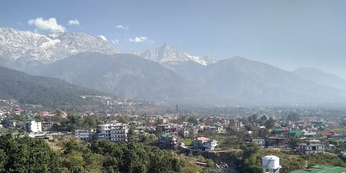
Full-day sightseeing with lunch
A guide, an air-conditioned private car, water, tolls, parking, entries and lunch are included. The route lists the Dalai Lama Temple, Norbulingka, Bhagsu waterfall and Naddi.
Check availability →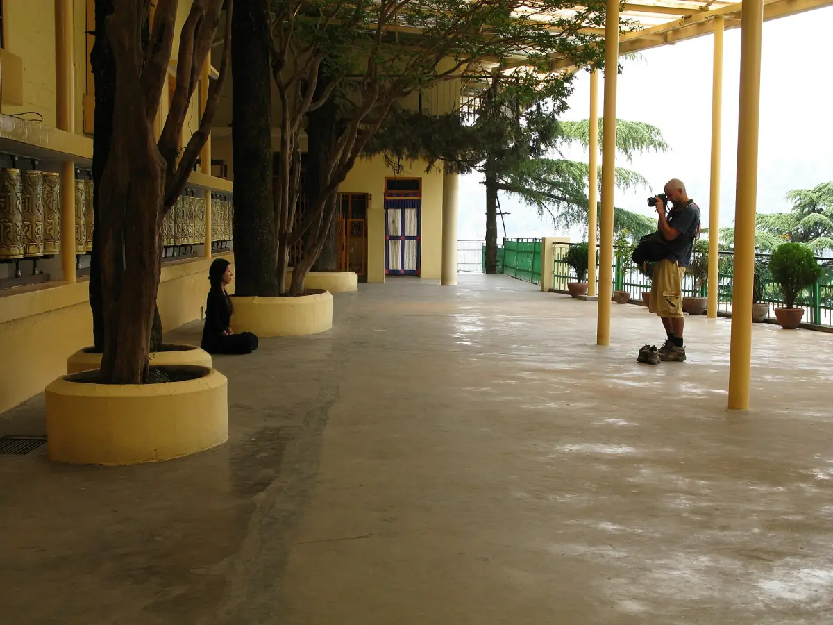
Private city tour of McLeod Ganj and Dharamshala
A private car with hotel pickup, an English-speaking guide and taxes. The route lists Naddi, Bhagsu, the Dalai Lama Temple, Norbulingka, Gyuto and tea gardens; meals and monument fees are extra.
Check availability →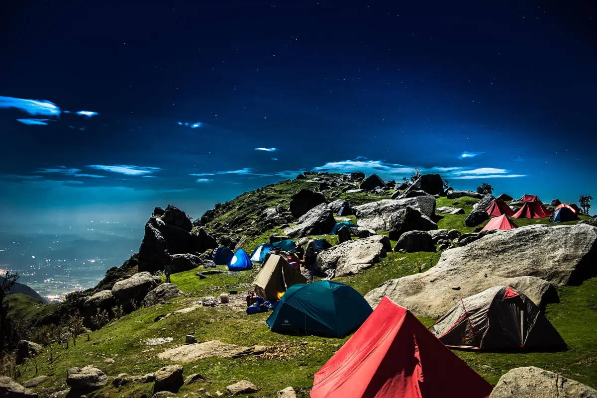
Two-day Triund trek with a tent night
A local trekking guide, a support team and a two-person dome tent at Leta Camp, with vegetarian dinner and breakfast. Forest entry or a trekking permit, if due, plus transfers and lunch are extra, according to the provider.
Check availability →Tours and day trips from McLeod Ganj
Walks, treks and trips in the Dharamshala area, with live prices and availability.
Bhagsu Nag Temple (Bhagsunag)
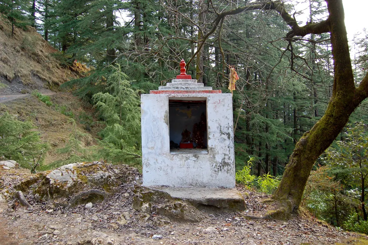
The temple is dedicated to Shiva as Bhageshwar and to Bhagsunag. A local legend tells of a king named Bhagsu. Read it as a legend, not as recorded history.
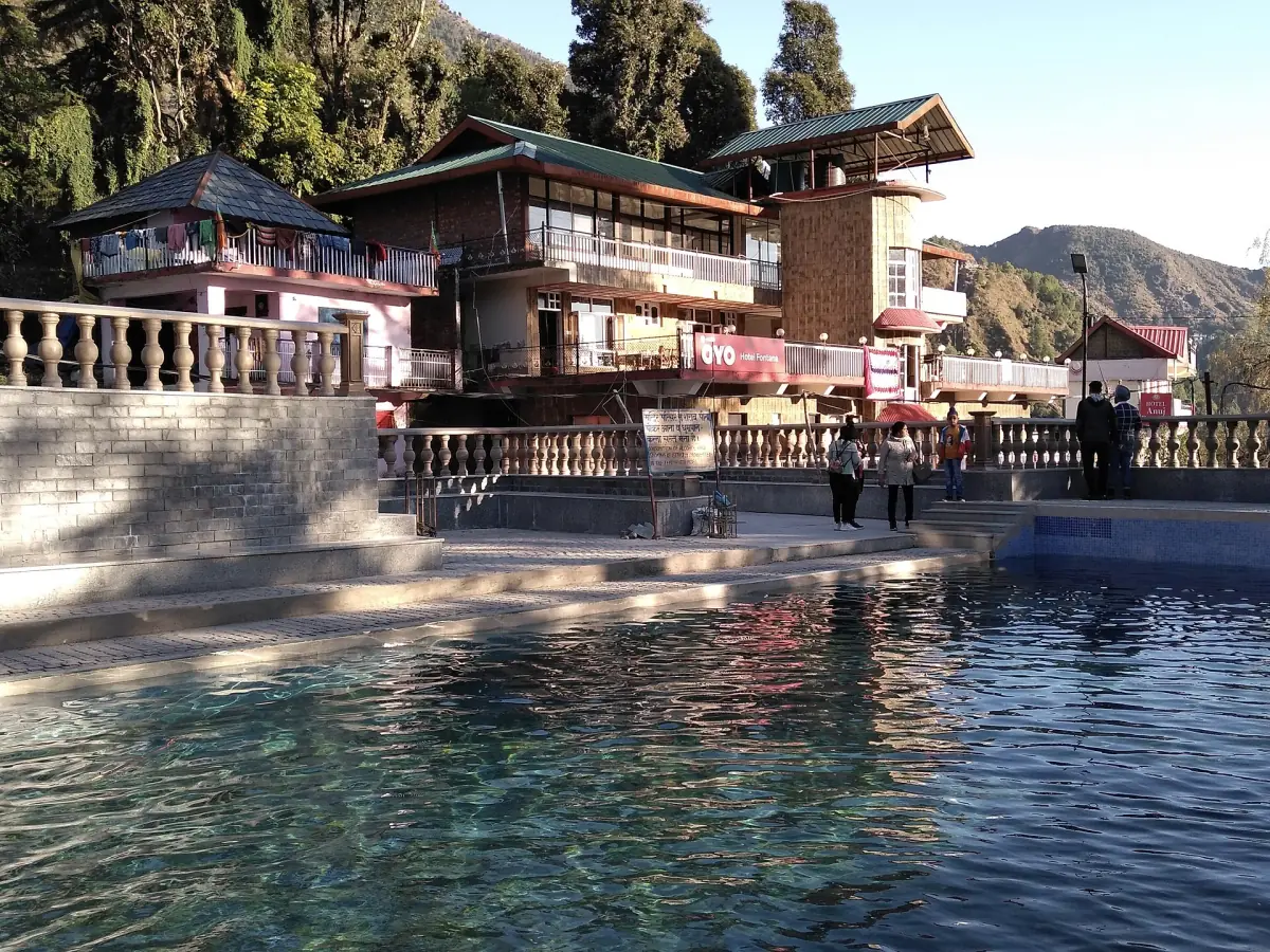
A spring-fed pool lies in front of the temple. It is not the waterfall. The district page describes ritual bathing in the temple pool, which is part of worship. That is no reason to bathe in the pool beneath the fall. The rocks there are slippery, so stay out of the water and watch your footing.
Dress modestly, behave as you would at any active temple and follow any notices posted at the gate. Ask there about opening hours and any charge.
Bhagsu Waterfall through the seasons
The district page says the flow is strongest from July to September. That is the monsoon. At the Dharamshala weather station about 81 percent of the yearly rain falls from June to September, with July and August the wettest, at 859.0 mm and 942.3 mm on average. The strongest flow is not a recommendation to visit then. The page itself warns that the rocks turn slippery after rain.
Outside the monsoon the fall is lighter. October (52.6 mm on average) and November (18.8 mm) are drier months at the station, but a dry month is not a promise for your day. Check the forecast, and avoid the rocks after rain. Landslides, floods and rockfall are among the hazards named in the UK government's travel guidance for India, updated in October 2026.
Stay on the paths, keep children and dogs close and do not climb on wet boulders for a photograph. The weather page has the month-by-month averages.
Rain and flow by month
Average rain at the Dharamshala weather station, 1991 to 2020, next to the district page's note on the fall.
| Month | Average rain | District note on the fall |
|---|---|---|
| June | 279.0 mm | – |
| July | 859.0 mm | Strongest flow, July to September |
| August | 942.3 mm | Strongest flow, July to September |
| September | 377.7 mm | Strongest flow, July to September |
| October | 52.6 mm | – |
| November | 18.8 mm | – |
These are long-term town averages and not a forecast. Rocks near the fall are slippery after rain in any month.
Combine Bhagsu with other places
Ideas that fit a half day.
Triund
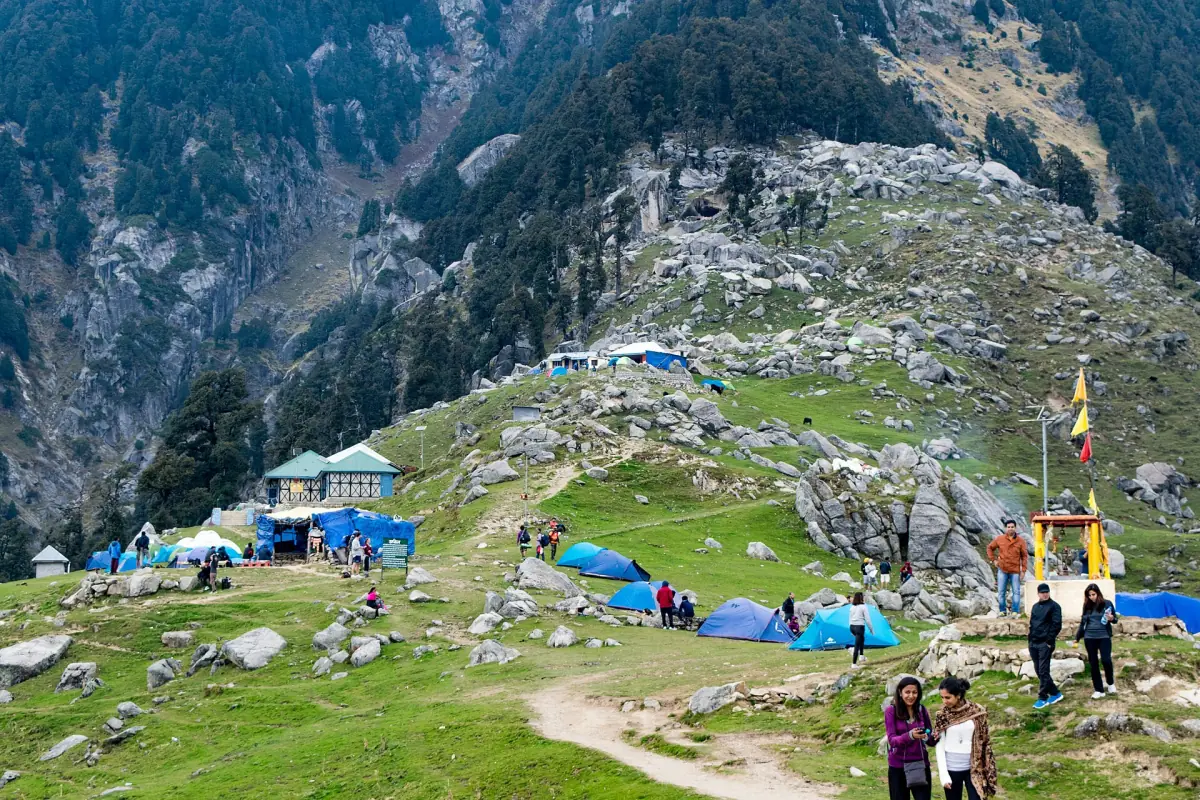
One of the paths to Triund starts at Bhagsunag and meets the others at the Galu Devi temple. Triund is a full-day trek with its own rules. See the Triund page before you decide to continue upward.
Dharamkot
Dharamkot lies above McLeod Ganj and is the usual start for Triund. The Dharamkot page explains how it fits with Bhagsu.
Staying in Bhagsu
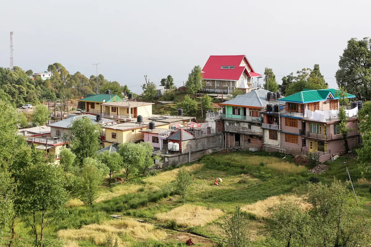
The temple area is 2–3 km from the main bazaar, so a room there is not next to the main temple in town. Look at the distance before you book. See where to stay.
Bhagsu Waterfall: frequently asked questions
How far is Bhagsu Waterfall from McLeod Ganj?
The district page gives 2–3 km from the bazaar to the temple area, then 500–1,000 m to the waterfall. The walk from the temple takes about 15–30 minutes one way.
How high is the waterfall?
The district page gives about 20–30 m.
When does Bhagsu Waterfall flow most?
From July to September, according to the district page. That is the monsoon, and the rocks are slippery after rain, so the strongest flow is not the safest time to go.
Can I swim at Bhagsu Waterfall?
It is not advised. The rocks are slippery, and the ritual bathing described at the temple pool is a religious practice, not an invitation to swim. Stay out of the water below the fall.
Is there an entry fee?
Ask at the gate about any charge and opening hours, and read the notices posted there.
Is the Bhagsunag Temple the same as the waterfall?
No. The temple has a spring-fed pool in front of it. The waterfall is a separate walk of about 15–30 minutes further on.